Lower Octoraro Loop
A challenging trail, circling the southern parts of our preserve with Turkey Roost nestled in the middle.
Lower Octoraro Loop
A challenging trail, circling the southern parts of our preserve with Turkey Roost nestled in the middle.
Lower Octoraro Loop
A challenging trail, circling the southern parts of our preserve with Turkey Roost nestled in the middle.
Notice
This band can be used to bring attention to important updates about the trail. This might include anything from weather to closures, events, etc.
Details
Length: 2.0 mi
Elevation Gain: 223 ft
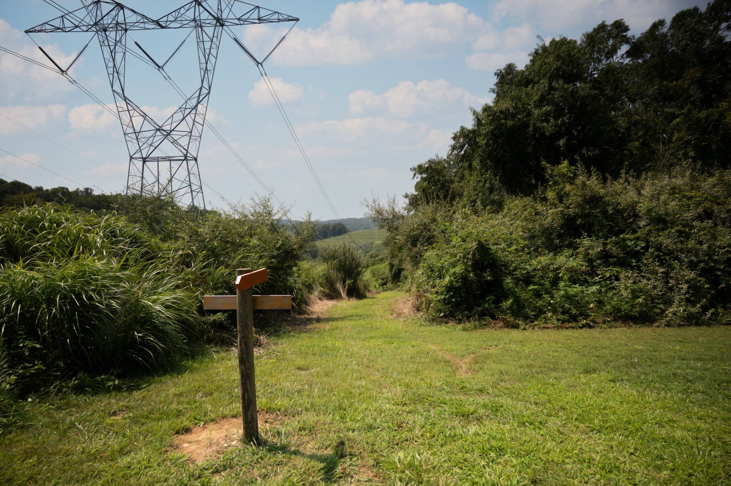
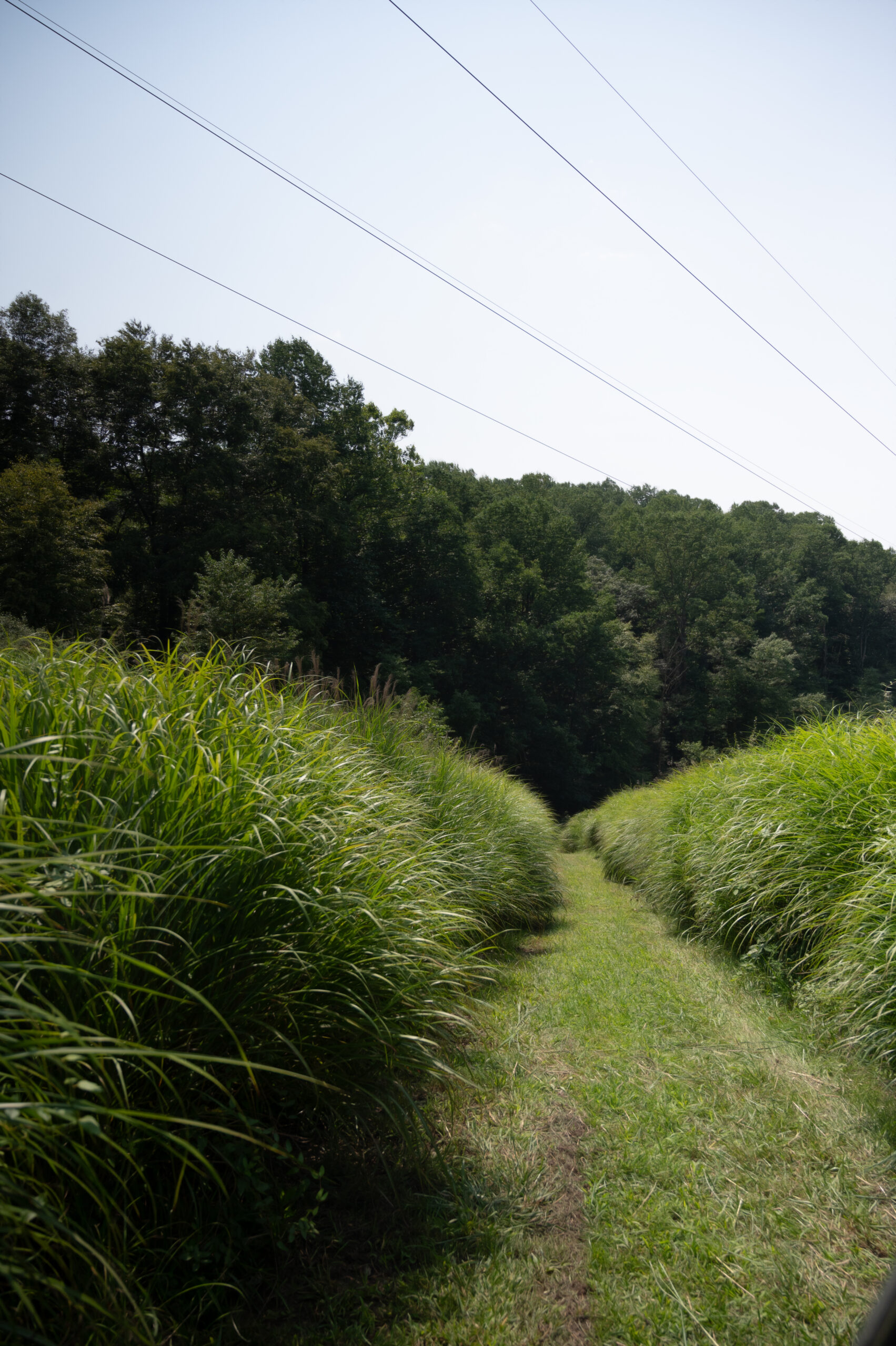
Trail Type: Hiking/Biking/Multi-use
Terrain Type: Gravel/Dirt/Rocky/Grass
Route Type: Loop/Circular
Difficulty: Easy/Moderate
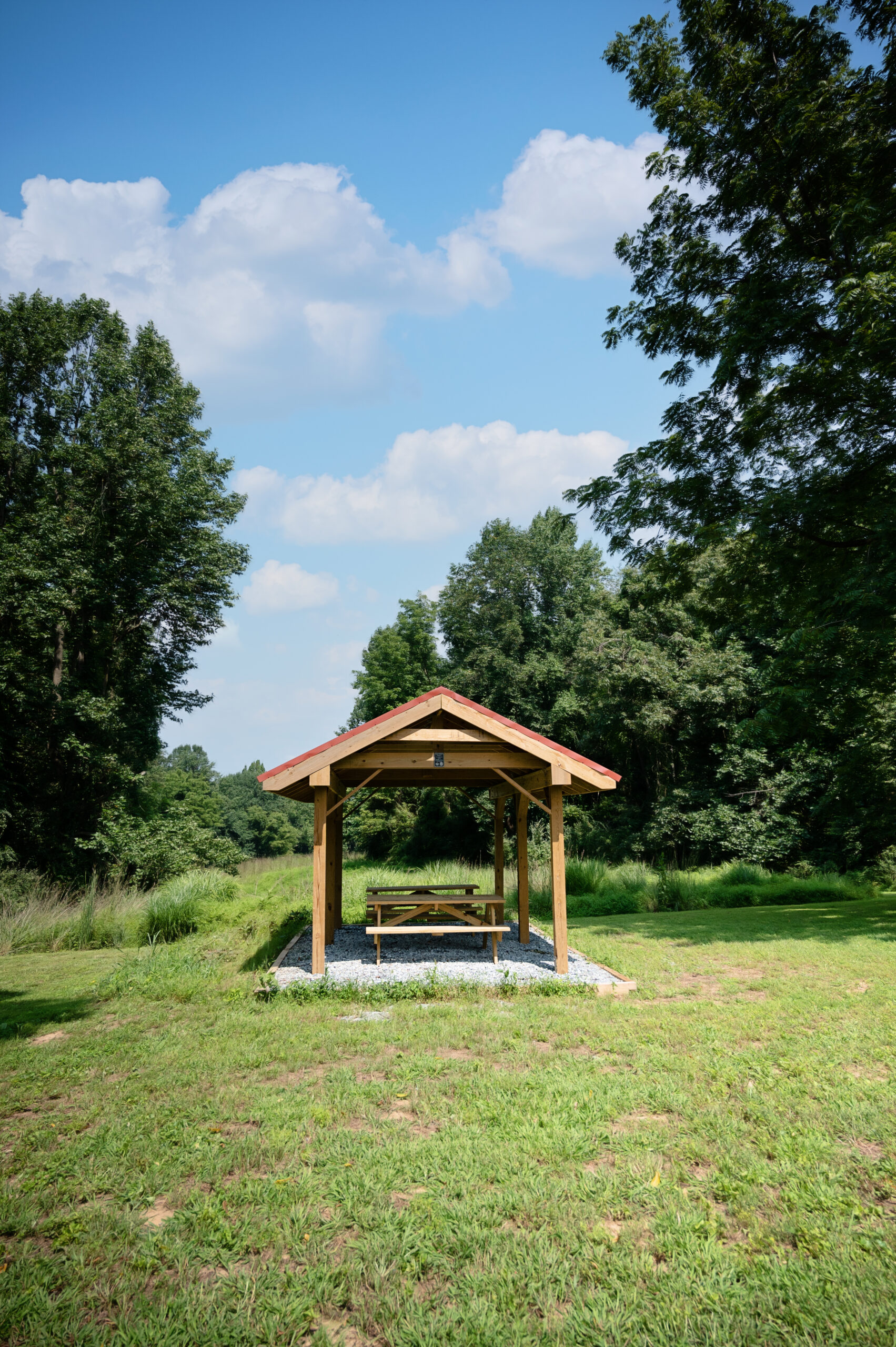
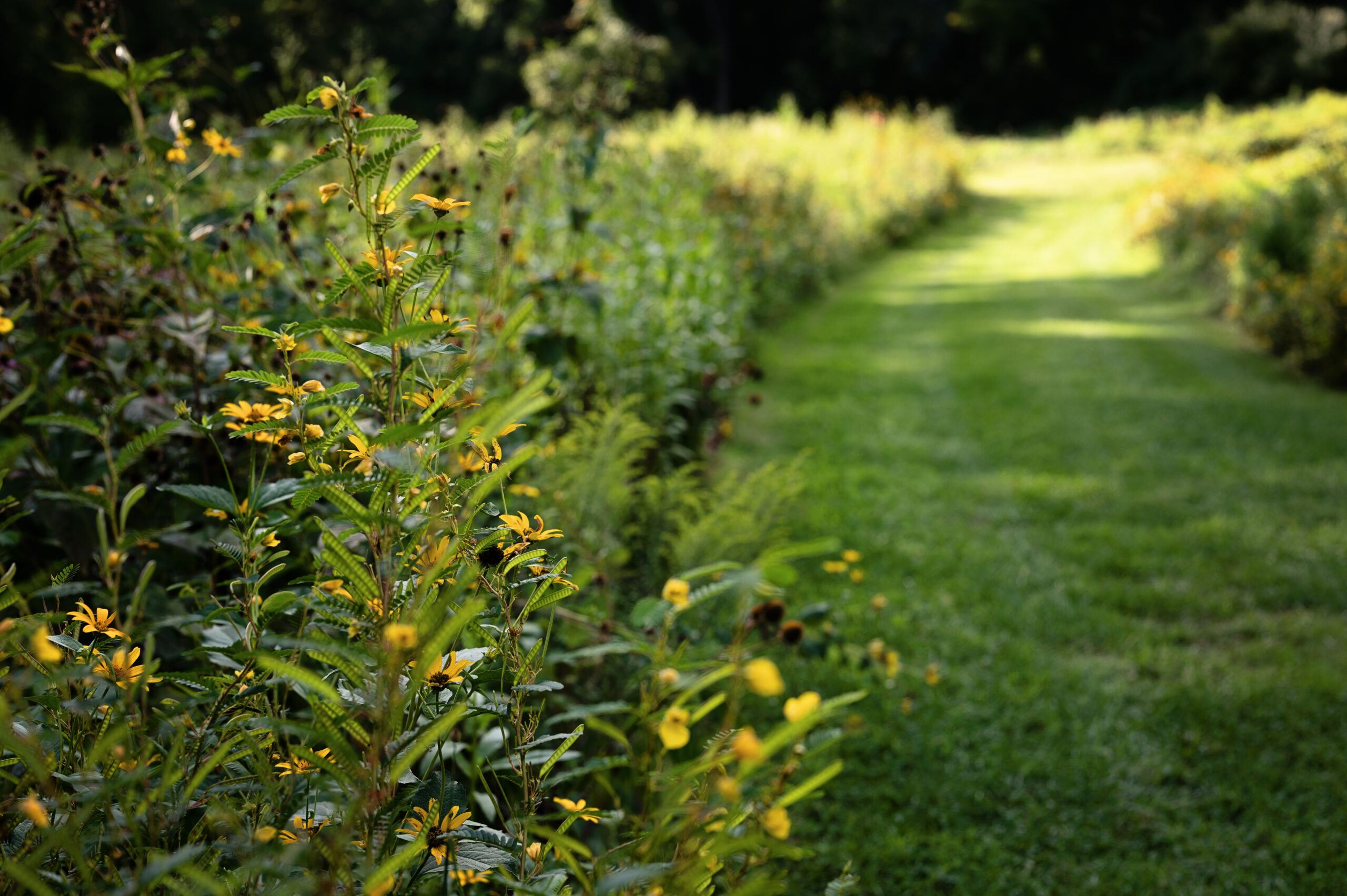
Key Features: Creeks/Streams/Forests/Meadows/Wildlife/Historical Sites
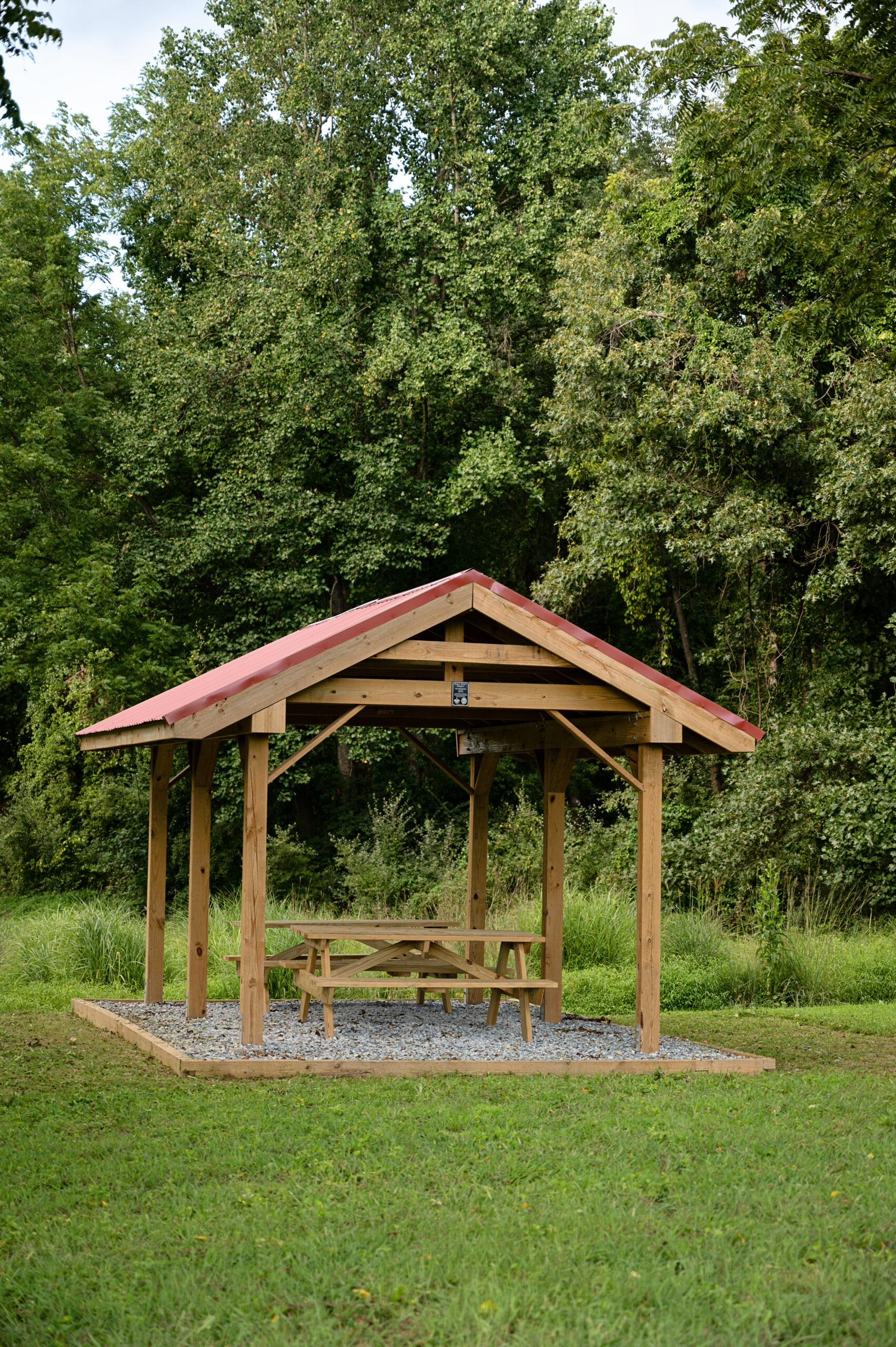
Trailhead: Parking lot
Accessibility: Walking or biking only
Connected Trails: Turkey Roost

Lower Octoraro Loop
Trail Map

BIG HILLS AND CREEK CROSSINGS
“Great walking trail, my kids love to play in the water or cross the creeks along the walking trail. We usually take the orange trail [Lower Octoraro Loop], but there are a lot of big hills and creek crossings, so might be tough for elderly or jogging strollers.”
-Christine M.
What to Expect on the Lower Octoraro Loop
A Challenging Trail Along the Octoraro Creek
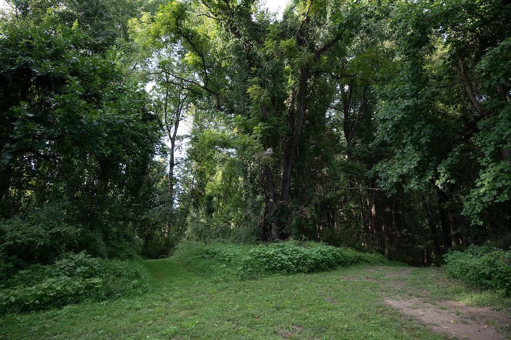
The Lower Octoraro Loop features gravel, dirt, rocky, and grassy paths, perfectly suited for an invigorating ride* or walk.
Starting from the main parking lot, this trail weaves through creeks, streams, wildflower fields, and lush forests, with access to the Turkey Roost trail, offering ample bird-watching opportunities to spot eagles, herons, and hawks.
This trail shares the southern stretch of the well-known Octoraro Creek with our Upper Octoraro Loop.
Spanning 2.0 miles with an elevation gain of 223 feet, the Lower Octoraro Loop accommodates hikers, bikers, and those seeking a moment of reflection amid nature.
*We advise hiking before you bike to determine your level of comfort.