Turkey Roost
A short connector between two points on the Lower Octoraro Loop, guiding you to the southernmost end of our preserve.
Turkey Roost
A short connector between two points on the Lower Octoraro Loop, guiding you to the southernmost end of our preserve.
Turkey Roost
A short connector between two points on the Lower Octoraro Loop, guiding you to the southernmost end of our preserve.
Notice
This band can be used to bring attention to important updates about the trail. This might include anything from weather to closures, events, etc.
Details
Length: 0.6 mi
Elevation Gain: 220 ft
Trail Type: Hiking/Biking/Multi-use
Terrain Type: Dirt/Rocky/Grass
Route Type: Point to Point
Difficulty: Easy/Moderate
Key Features: Streams/Forests/Meadows/Wildlife
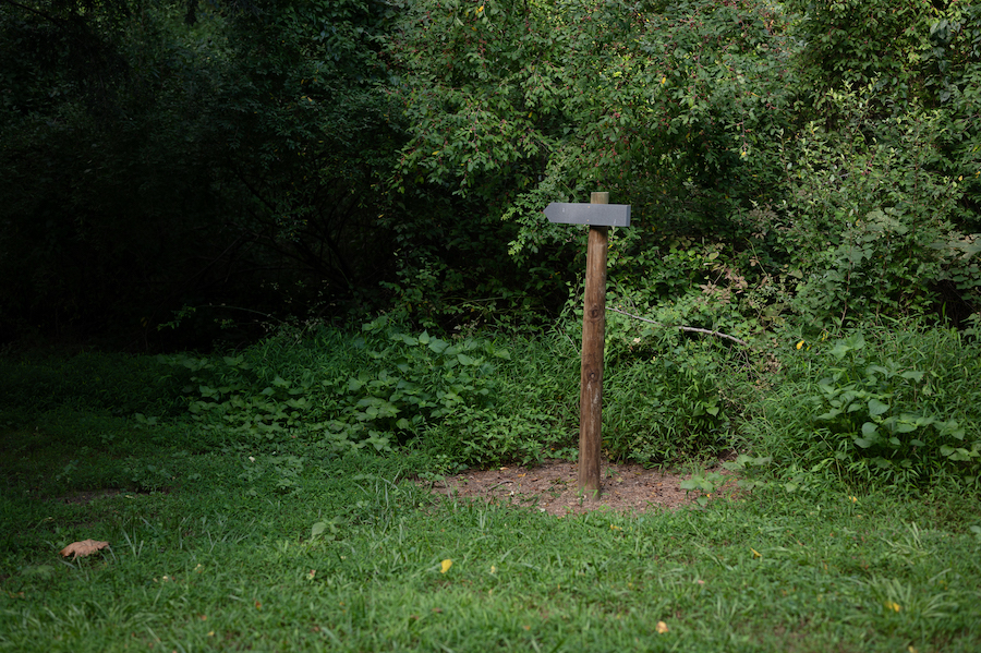
Trailhead: Two points on the Lower Octoraro Loop
Accessibility: Walking or biking only
Connected Trails: Lower Octoraro Loop

Turkey Roost
Trail Map

Just The Right Difficulty
“Several trails. Just the right difficulty for my little one. Near the creek which allowed my daughter to play in the water some.”
-James G.
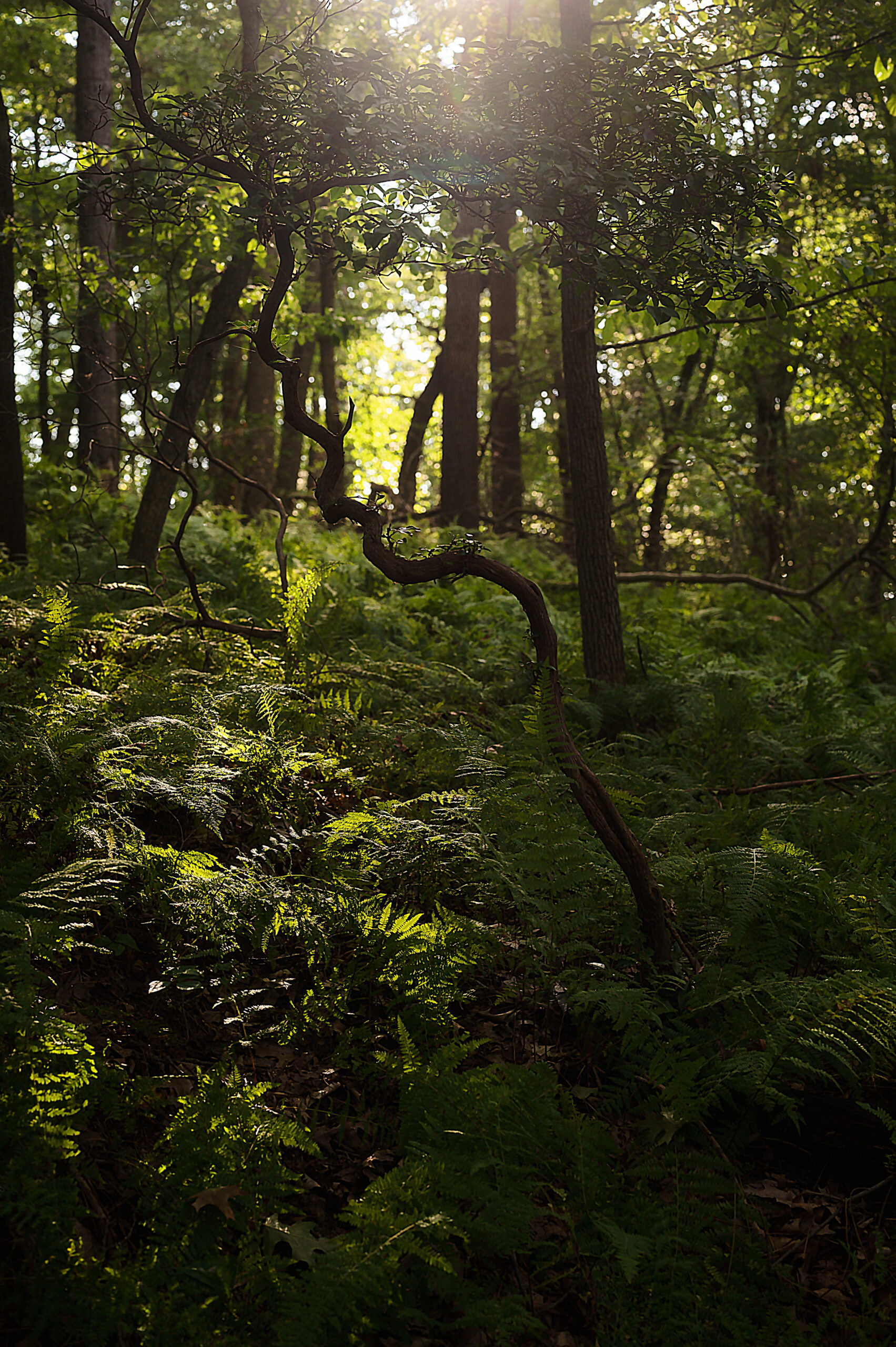
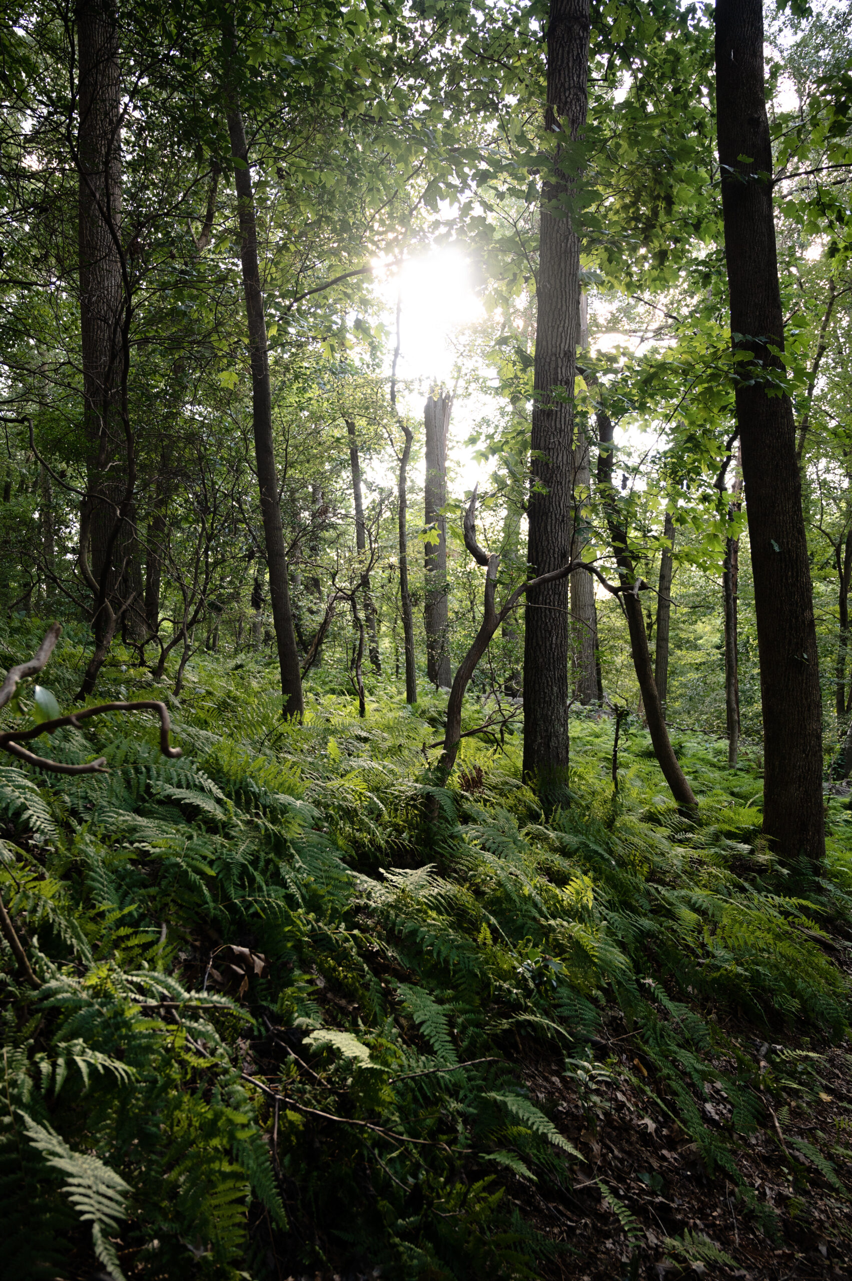
What to Expect on the Turkey Roost Trail
Surround Yourself with Nature on the Southern End of Our Preserve
With a minimal elevation gain of 220 feet, this trail is perfect for casual strolls, energizing hikes, or invigorating bike rides*.
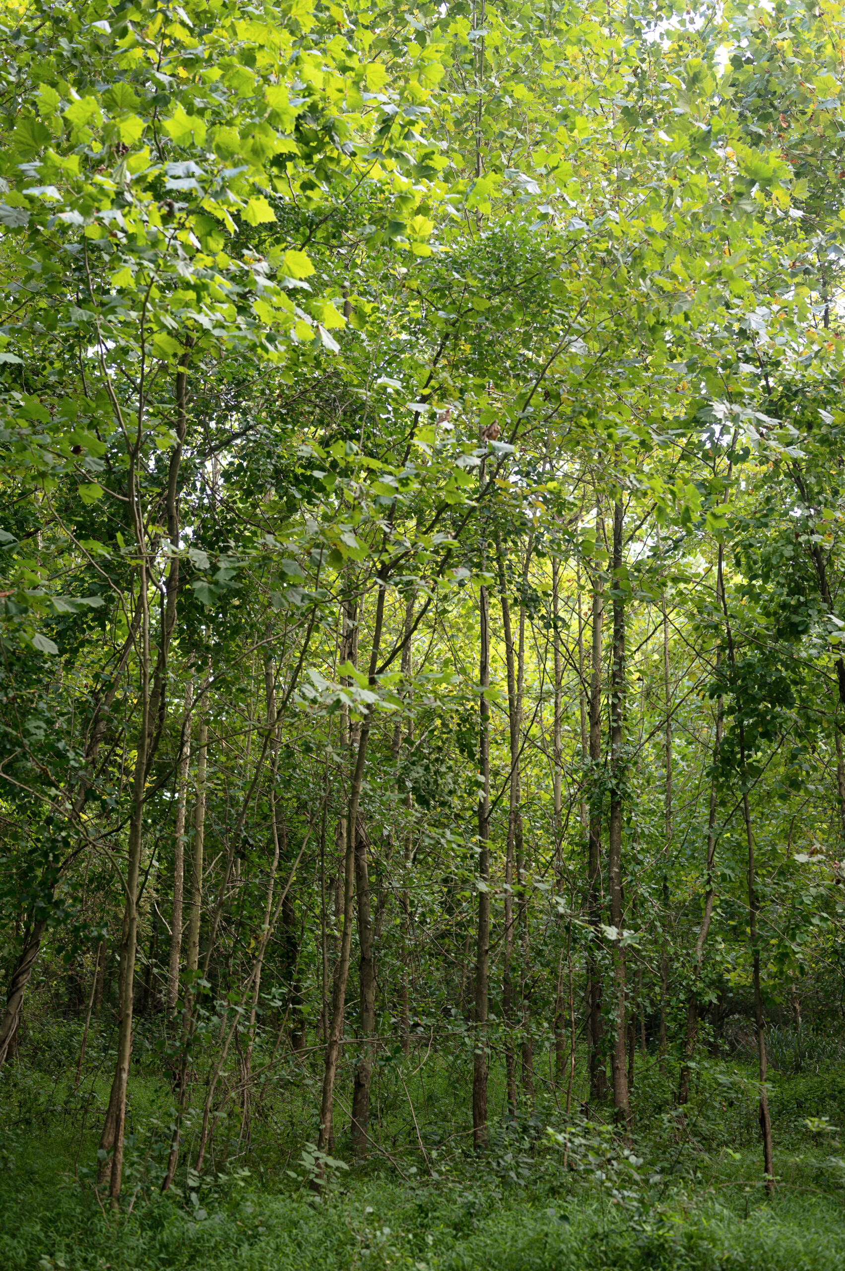
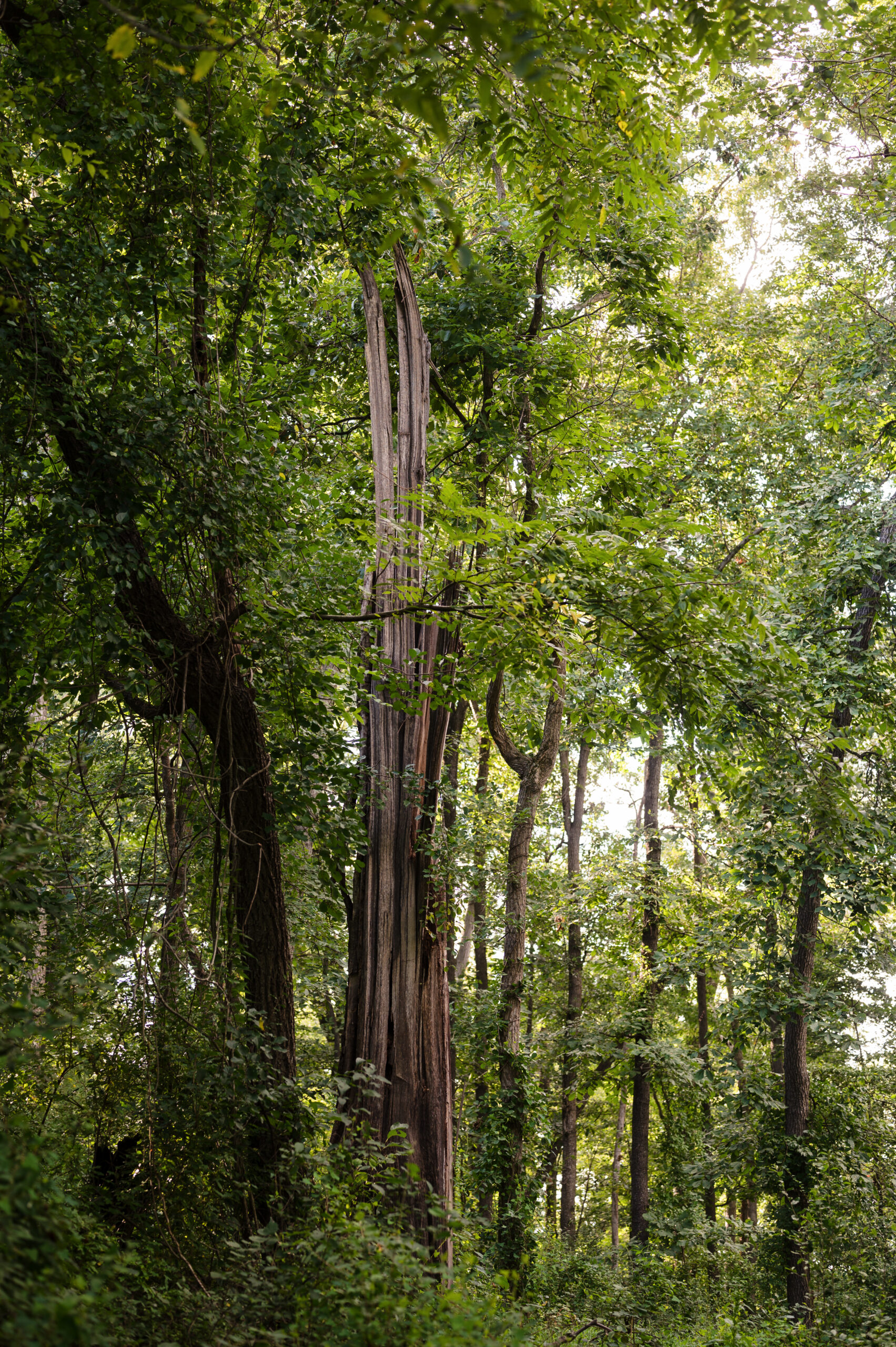
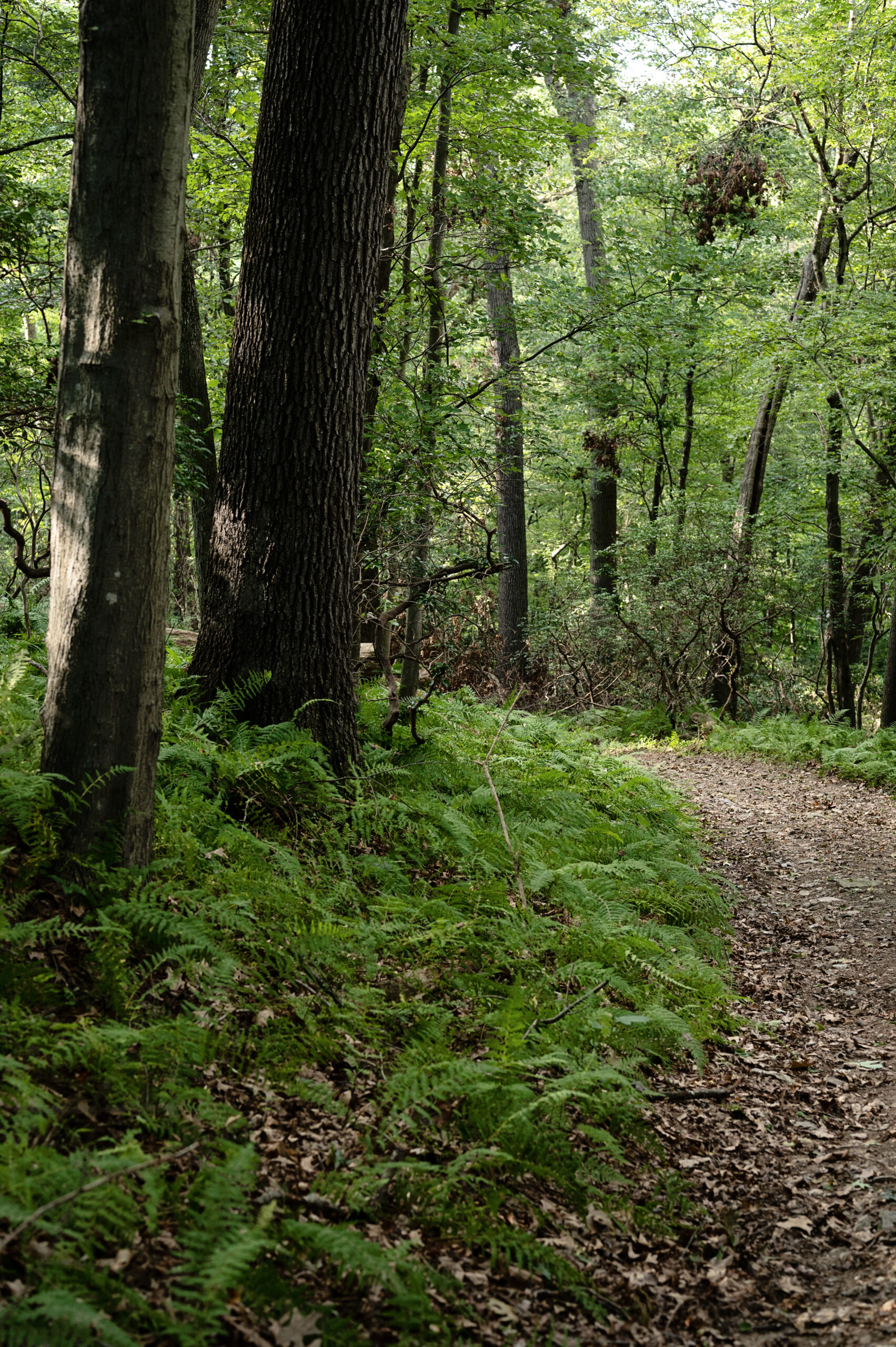
As you navigate from one end of the trail to the other, you’ll be surrounded by dense forests, vibrant meadows, serene streams, and rich wildlife habitats, home to deer and turkey, making each step a discovery of wildlife and natural splendor.
Accessible by foot or bike, the Turkey Roost Trail serves as a peaceful connector between two points on the Lower Octoraro Loop.
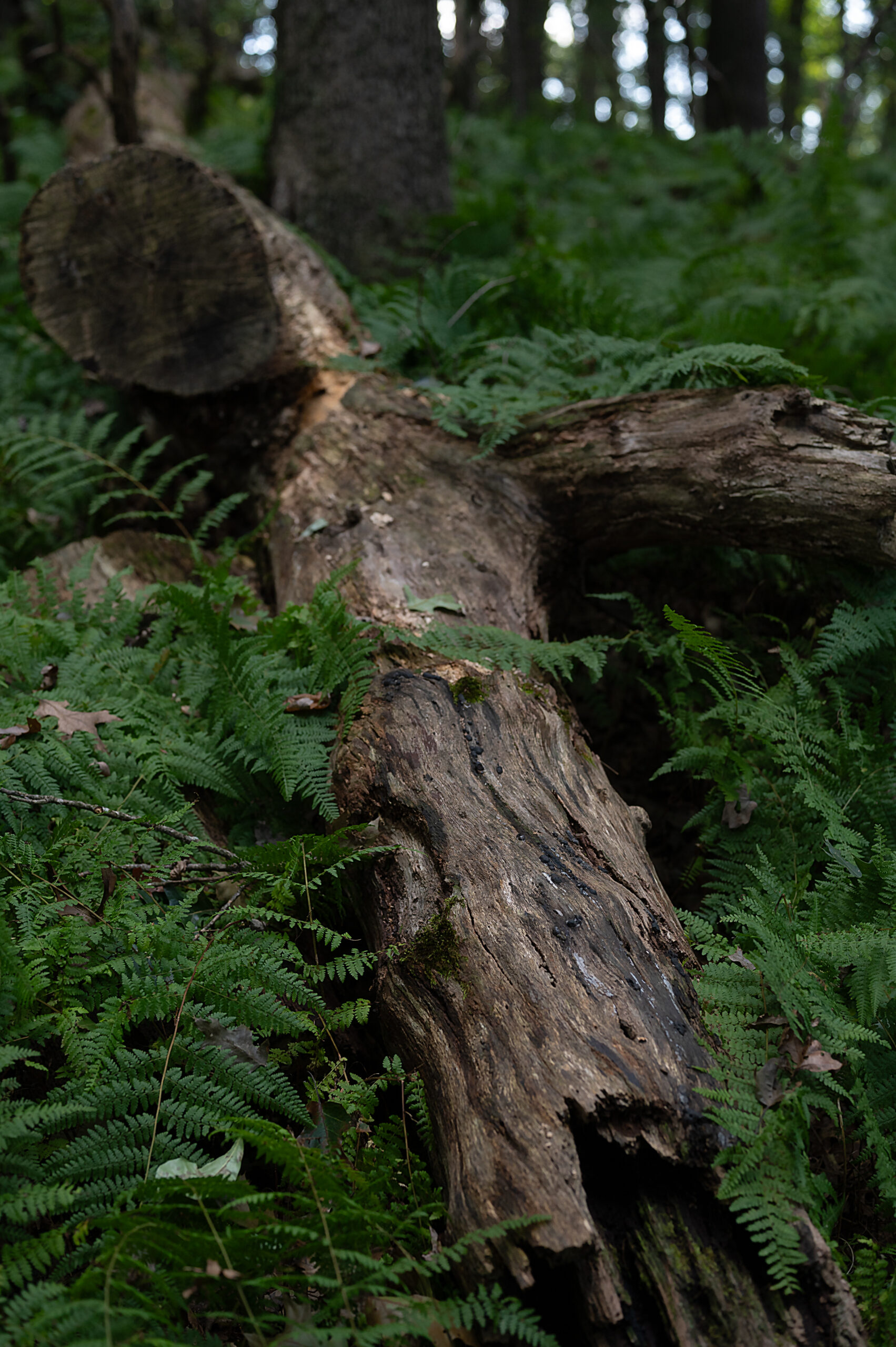
Some spots on the trail are quite rocky, so try a hike before you bike!
Whether you’re a seasoned hiker or a family looking for a delightful outdoor escape, the Turkey Roost Trail promises a refreshing adventure.
*We advise hiking before you bike to determine your level of comfort.